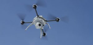
Original Scope: A recent AASHTO survey has revealed that at least 19 different State DOT are exploring the use of the equipment. Several state DOTs are actively performing research in the use of Unmanned Aerial Systems (UAS) to facilitate operations. The UAS technology is dynamic and advancing quickly. UAS have been carrying numerous devices such as HD cameras, HD video cameras, LiDAR imaging equipment, and more. Contractors, Owners, and Consultants are using these devices to assist them in day to day operations as well as researching future uses. Because of its semi-regulated use, challenges do exist to implementation; however, several lead states have been identified whose experience can benefit others in accelerating implementation.
This scan will visit users of this technology and document their specific application. The scan focus and objectives shall provide a better understanding of the proactive use of this technology as well as the return on investment and its benefits to the surface transportation community. This scan will assist the accelerated national deployment of the technology by providing “Getting Started” guidance and case studies of successful applications of UAS. The scan will also provide valuable information concerning where additional development and research might be needed to support the increased use of this technology.
Implementation and Impact
Following the scan workshop in April 2018, the scan team worked at the state, regional and national levels to advance scan findings. Highlights of these activities include:
At the local and state level, scan findings were presented at an FAA workshop at the University of Alaska-Anchorage, the ACEC – Michigan DOT Partner Workshop, Michigan DOT TranspoCon, Alabama Peer Exchange, Utah Airport Operators Association conference, and a class on Aerial Mapping Technologies and Procedures in Salt Lake City.
At the regional and national levels, the scan team presented the outcomes of the scan at the National Association of State Aviation Officials, AASHTO Maintenance Committee and their Bridge Technical Working Group, the MAASTO Annual Meeting, ITS America, FHWA’s EDC-5 meeting, InterDrone Conference, AASHTO Right of Way and Outdoor Advertising committee, TSP2 Southeast Bridge Preservation Partnership meeting, NASTO Annual Meeting, E-Construction Peer Exchange (FHWA and Delaware DOT), AASHTO’s Committee on Bridges and Structures, TRB Committee on Concrete Pavement Construction and Rehabilitation, TRB Subcommittee on Geospatial Data Acquisition Using Small Unmanned Aerial Systems, UAS Roundtable at the AASHTO Spring Meeting, SASHTO Annual Meeting, and the AASHTO Committee on Construction.
The scan team conducted a TRB-sponsored webinar entitled, Why Surface Transportation Agencies Use Drones, in February 2020 which was attended by 976 participants. The webinar addressed how UAS can be implemented within state departments of transportation and what their applications are. Presenters discussed challenges and opportunities regarding using UAS for data collection and identify potential impacts on future applications.
Several FHWA-sponsored webinars conducted by scan team members included:
- Integrating UAS at Surface Transportation Agencies: State of the Practice
- Developing a UAS Program: From Startup to Additional Tasking
- Value of Data Derived from UAS throughout Project Delivery
- Multi-stakeholder Coordination for UAS Deployment in Emergency Response Environments
This scan helped inform the development of an FHWA-sponsored report entitled, Global Benchmarking Program Study on Unmanned Aerial Systems (UAS) for Surface Transportation. FHWA plans on updating this report by incorporating international activities in the near future.
This scan also helped to inform an NCHRP project entitled, Proposed AASHTO Guidelines for Applications of Unmanned Aerial Systems Technologies for Element-Level Bridge Inspection, which will develop a standalone roadmap including the requirements for implementing the UAS technologies by state DOTs including IT infrastructure and security, data retention policy, organization structure and workflow, and training.
FHWA’s Office of Unmanned Aerial Systems conducted four regional workshops in Kansas, North Carolina, Utah, and Massachusetts between April and June of 2022. These workshops focused on the exchange of ideas and experiences, sharing of FHWA resources, demonstrations, and future expectations for the use of UAS technologies.
Scan chair Emanuel Banks provided perspectives on the scan outcomes on the final day of the scan:
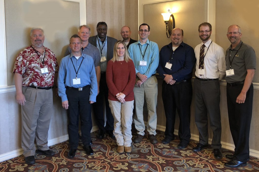
Scan Members
- Emanuel Banks, Arkansas DOT, Scan Chair
- Jeffery Milton, Virginia DOT
- Amy Tootle, Florida DOT
- Gregg Fredrick, Wyoming DOT
- Troy Larue, Alaska DOT
- Steven Cook, Michigan DOT
- Stephen Smith, Vermont DOT
- Paul Wheeler, Utah DOT
- James Gray, FHWA
- Paul Snyder and Zach Waller, University of North Dakota, Co-Subject Matter Experts
Workshop Participants
- Alaska Center for UAS Integration, Univ. of AK, Fairbanks
- Caltrans
- Colorado DOT
- Georgia DOT
- Iowa DOT
- Kentucky Dept. of Aviation
- Michigan Tech Research Institute
- Minnesota DOT
- New Jersey DOT
- North Carolina DOT
- Ohio DOT
- Utah DOT

Please login to access additional content for scan members only.